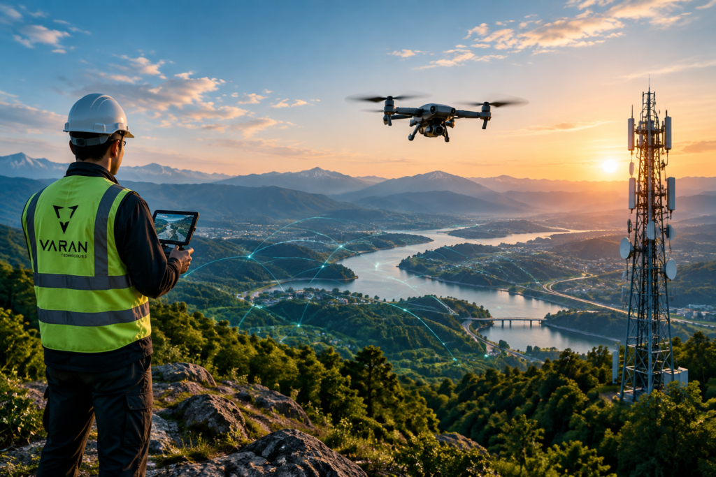
From geospatial intelligence to global connectivity,
we deliver end-to-end solutions tailored to your needs.
GIS & Mapping
Accurate geospatial data and mapping solutions for better decision-making.
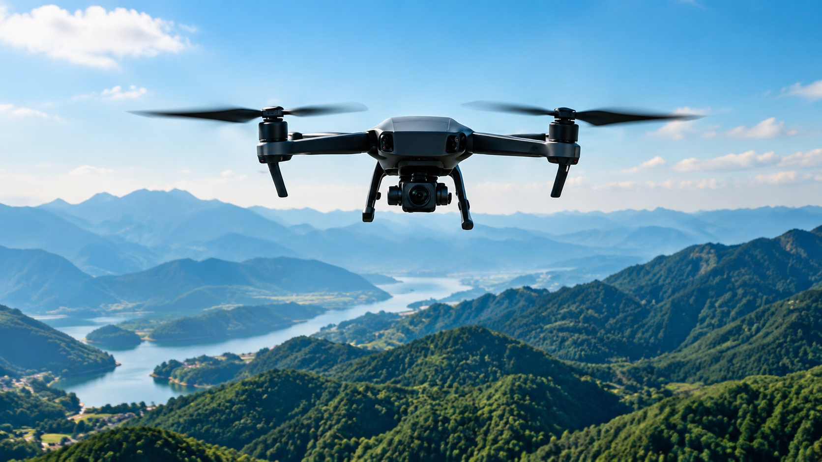
Drone & Aerial Services
High-resolution aerial imagery and data collection for diverse industries.
ICT & Connectivity
Reliable network and ICT solutions for a more connected world.
Projects Delivered
%
industries Served
%
Countries of Experience
%
Commitment to Innovation
%
ABOUT US
Connecting Data, Technology & Possibilities
At Varan Technologies, we combine geospatial intelligence, aerial technology, and connectivity solutions to deliver meaningful results for organizations across industries.
Our mission is to provide reliable, technology-driven solutions that improve decision-making, enhance connectivity, and create sustainable impact.