GIS & MAPPING

Spatial Intelligence for Real-World Decisions
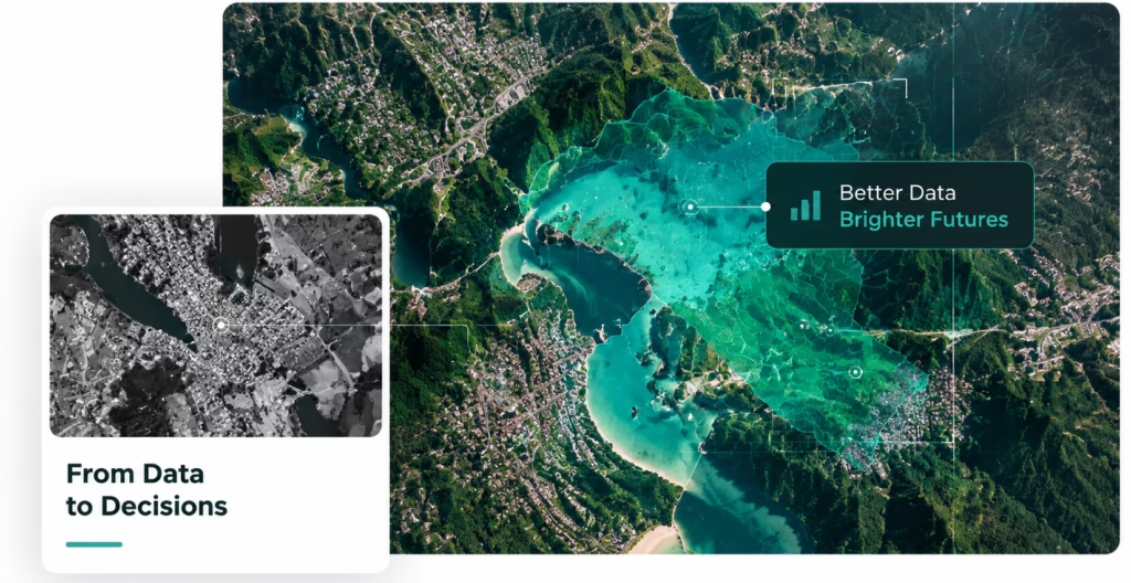
We deliver accurate geospatial data and mapping solutions that help organizations visualize, analyze, and manage information for smarter, more sustainable outcomes.

OVERVIEW

Connecting Data, Technology & Possibilities
Our GIS and mapping solutions turn complex spatial data into meaningful insights. We support planning, asset management, environmental monitoring, and more, helping organizations make confident, data-driven decisions.

OUR GIS & MAPPING SERVICES

Geospatial Data Management

Organize, process and manage spatial data for reliable insights.

Custom Mapping Solutions

Detailed and interactive maps tailored to your needs.

Spatial Analysis

Turn spatial data into meaningful, actionable information.

Decision Support

Tools and insights to support planning and operational decisions.

REAL.WORLD APPLICATIONS

Mapping a Sustainable Tomorrow
From infrastructure planning to environmental monitoring. our GIS solutions help create smarter, more resilient communities.

Environment & Conservation

Infrastructure & Urban Plenning

Agriculture & Land Management